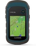
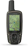
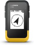
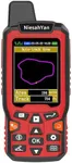
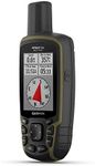
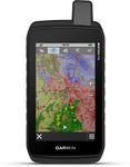
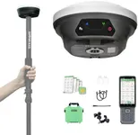
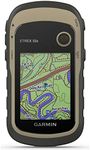
Buying Guide for the Best Handheld Gps For Surveying Land
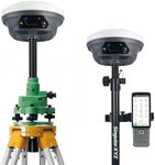
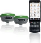
Choosing the right handheld GPS for surveying land can be a crucial decision, as it directly impacts the accuracy and efficiency of your work. A handheld GPS device is a portable gadget that uses satellite signals to determine your exact location on Earth. When selecting a GPS for land surveying, it's important to consider several key specifications to ensure it meets your needs. Understanding these specifications will help you make an informed decision and select a device that provides the precision and functionality required for your surveying tasks.AccuracyAccuracy refers to how close the GPS device's reported position is to the true position. This is crucial for land surveying, where precise measurements are necessary. GPS devices can vary in accuracy, with some offering sub-meter accuracy and others providing centimeter-level precision. For general land surveying, sub-meter accuracy may suffice, but for more detailed and critical surveys, a device with centimeter-level accuracy is recommended. Consider the level of detail required for your projects to determine the appropriate accuracy level.
Satellite SystemsSatellite systems are the networks of satellites that the GPS device can connect to for positioning. The most common systems are GPS (USA), GLONASS (Russia), Galileo (EU), and BeiDou (China). A device that supports multiple satellite systems can provide better accuracy and reliability, especially in challenging environments like dense forests or urban areas. For optimal performance, choose a GPS device that can access multiple satellite systems, ensuring you have a strong and consistent signal regardless of your location.
Data Logging and StorageData logging and storage refer to the device's ability to record and store location data over time. This is important for surveying, as it allows you to keep a record of your measurements and revisit them later. Devices with larger storage capacities can hold more data, which is useful for extensive surveying projects. Additionally, some devices offer expandable storage options via memory cards. Consider the scope of your projects and choose a device with sufficient storage capacity to meet your data logging needs.
Battery LifeBattery life indicates how long the GPS device can operate on a single charge. For land surveying, you may spend long hours in the field, so a device with a long battery life is essential. Battery life can range from a few hours to several days, depending on the device and usage. Some devices also offer replaceable batteries, which can be convenient for extended fieldwork. Assess the typical duration of your surveying sessions and select a device with a battery life that can comfortably support your work without frequent recharging.
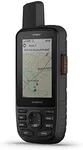
Durability and Weather ResistanceDurability and weather resistance refer to the device's ability to withstand harsh environmental conditions. Surveying often involves working in rugged terrains and varying weather conditions, so a robust and weather-resistant GPS device is important. Look for devices with high IP ratings (e.g., IP67 or IP68), which indicate resistance to dust and water. Additionally, consider devices with rugged construction that can endure drops and impacts. Choose a GPS device that can handle the environmental challenges of your surveying locations.
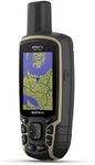
User Interface and SoftwareThe user interface and software determine how easy it is to operate the GPS device and process the collected data. A user-friendly interface with intuitive controls can make your surveying tasks more efficient. Additionally, consider the software compatibility for data transfer and analysis. Some devices come with proprietary software, while others are compatible with third-party applications. Evaluate the ease of use and software features to ensure the device meets your workflow requirements and integrates smoothly with your existing tools.